Narrated audio driving tour
Big Sur on Highway 1
California, USA
- Stories on the way
- 23
- Distance
- 39 mi
- Drive time
- 1 hr 10 min
Hear the narrator
One real story from this drive, in the voice that rides along — the same one your car hears when you reach the spot.
Mission San Carlos Borromeo de Carmelo
0:00 / 0:31
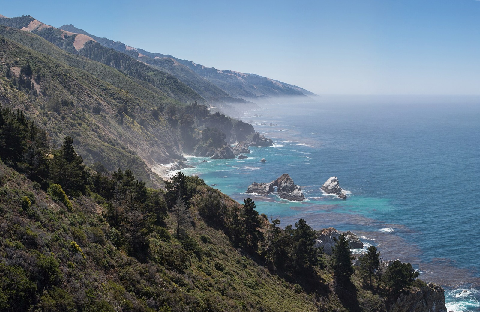
Big Sur on Highway 1 is a narrated audio driving tour through California, USA — about 1 hour 10 minutes and 39 miles end to end. The route strings together 23 stops — Carmel-by-the-Sea, McWay Falls and Mission San Carlos Borromeo de Carmelo among them — each with a story that plays automatically as you reach it. Download the drive in Getaways and it rides along offline, narrating the road even where the signal drops.
Every stop on the route
23 places, 23 stories — each one starting itself as you arrive. Here's what you'll pass; the narration rides along in the app.
- 1
Carmel-by-the-Sea
- 2
Mission San Carlos Borromeo de Carmelo
More on Wikipedia - 3
Carmel River State Beach
More on Wikipedia - 4
Carmelito, California
More on Wikipedia - 5
Highlands Inn, Carmel Highlands
More on Wikipedia - 6
Malpaso Creek
More on Wikipedia - 7
Rancho San José y Sur Chiquito
More on Wikipedia - 8
Joshua Creek Canyon Ecological Reserve
More on Wikipedia - 9
Notleys Landing, California
More on Wikipedia - 10
Rocky Creek Bridge (California)
More on Wikipedia - 11
Bixby Creek Bridge
More on Wikipedia - 12
Little Sur River
More on Wikipedia - 13
Point Sur Lighthouse
More on Wikipedia - 14
Big Sur
More on Wikipedia - 15
Big Sur River
More on Wikipedia - 16
Andrew Molera State Park
More on Wikipedia - 17
Big Sur Village, California
More on Wikipedia - 18
Pfeiffer Big Sur State Park
More on Wikipedia - 19
Joseph W. Post House
More on Wikipedia - 20
Deetjen's Big Sur Inn
More on Wikipedia - 21
Julia Pfeiffer Burns State Park
More on Wikipedia - 22
Anderson Canyon
More on Wikipedia - 23
McWay Falls
Good to know before you go
Carmel-by-the-Sea
Parking is free but tight — angled spaces along Ocean Avenue and the side streets, and no meters anywhere in town. On summer weekends it fills fast, so take the first spot you see rather than circling.
Mission San Carlos Borromeo de Carmelo
A free lot sits off Rio Road right at the mission, plus street parking nearby. It's a working parish and museum, so weekend mornings can be busy with services — arrive a little early if you want an unhurried visit.
Carmel River State Beach
A small state-beach lot sits at the end of Carmelo Street for the lagoon end, plus shoulder pullouts along the highway near Monastery Beach. Both fill on sunny weekends, so have a backup plan.
Highlands Inn, Carmel Highlands
The inn is a private resort, not a pullout — there's no public roadside parking here. If you want the view, it's through the hotel's own restaurant or bar, where parking is for guests and diners.
Malpaso Creek
There's nothing to stop for at the creek itself — it's a marker, not a destination. What matters from here on is the road ahead: before committing to the drive south, check Caltrans for current Big Sur closures, because landslides can shut the coast highway with little warning.
Bixby Creek Bridge
Here's the make-or-break truth: the famous dirt pullout at the north end and the shoulder along Old Coast Road have been the classic places to stop, but access here keeps tightening. Official guidance now warns that parking or stopping is no longer allowed on or at either end of the bridge, so don't count on grabbing a spot.
Point Sur Lighthouse
There's no casual pullout for the lighthouse itself; access is only on foot with a guide. Tour visitors meet at the farm gate on the west side of Highway 1 and walk in from there.
Big Sur
Cell service all but disappears through here, and gas stations are rare and expensive, so fill your tank in Carmel or Monterey and download your maps before the signal drops. There's no rushing this road, so build in more time than the mileage suggests.
Andrew Molera State Park
There's one main dirt parking lot just off Highway 1, and it fills on busy weekends. It's a day-use lot only, with no camping in the main park, so arrive earlier in the day if you want a spot.
Big Sur Village, California
Parking is small, scattered lots at each lodge, store, and restaurant; there's no central lot. Pull into wherever you're actually stopping rather than circling, and expect it tight on summer weekends.
Pfeiffer Big Sur State Park
There are day-use lots inside the park near the trailheads and the river. They fill by late morning on summer weekends, so come early or plan a weekday visit if you can.
Joseph W. Post House
It's a private National Register home, not a museum, so there's no gate to walk through and nothing to pull over for — enjoy it as a passing piece of history from the car, and keep your eyes on this narrow road rather than the house.
Deetjen's Big Sur Inn
It's a working inn and restaurant, not a walk-through attraction, so don't go wandering the cabins. Fair warning if you do stay: rustic rooms, thin walls, and no cell service or wifi are the feature here, not a flaw. Book ahead — the place is small.
Julia Pfeiffer Burns State Park
Almost everyone in this park is heading for the waterfall overlook, which leaves the inland redwood trails comparatively quiet. If you want the big ancient trees more or less to yourself, that's where to point your boots.
Anderson Canyon
There's nothing to pull over for here — no trailhead, no parking, no facilities on the highway. The old shacks are long gone and the land now falls roughly inside the state park, so let this one be a story you carry past, not a stop you make.
McWay Falls
The day-use lot sits right off Highway 1 and it's small, so it fills fast on weekends and through summer. If it's full, there's limited shoulder pull-off nearby, but don't block the highway — this is a fast cliff road with nowhere to be careless.
Take Big Sur on Highway 1 with you.
Download it once and someone in the car knows things the whole way — narration, map and stops, offline, so it keeps talking where the signal drops. Getting there is the getaway.
Plan this with friends
Every friendship dies the same death: the group chat. Start a trip instead — send one link, and everyone votes on the day and sees the same schedule, from the thread, on any phone, with nothing to install. When the weekend lands, this drive is already loaded, and every car of the caravan hears the same narrator.
Start a getaway in the app →